Our Range of
Surveying Services
CMS Surveys provides a full range of land and underground surveying services, delivering precise data that supports confident planning, design, and construction for major projects across the UK.
Utility Surveys

Utility Surveys
PAS128-compliant surveys using electromagnetic detection and GPR. Where needed, we also provide vacuum excavation for safe verification. Every deliverable is prepared in CAD or BIM formats, giving clients clear visibility of underground utilities and helping to reduce strike risk, delays, and unexpected costs.
Contact Us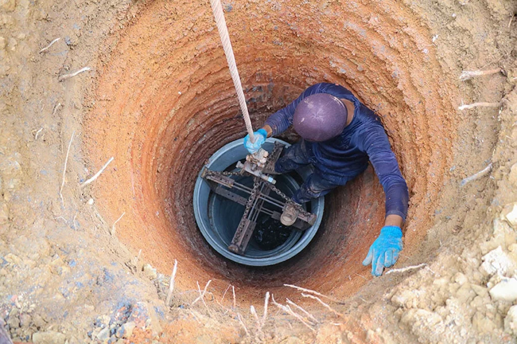
Borehole Clearance Surveys
Before any drilling or ground investigation, we provide borehole clearance surveys to confirm the absence of underground utilities. Using detection methods and surface mark-out, we ensure boreholes and trial pits can be carried out safely and in compliance with best practice.
Contact Us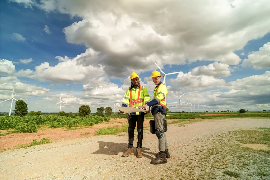
CCTV Drainage Surveys
Our CCTV drainage surveys assess the condition and connectivity of foul and surface water systems. Using advanced equipment and coding systems, we produce detailed reports highlighting defects, blockages, or capacity issues, along with recommendations for maintenance or repair.
Contact UsLand Surveys
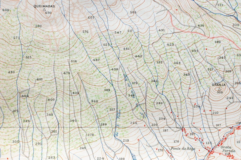
Topographical Surveys
Our topographical surveys capture all natural and man-made features with accuracy, providing a complete picture of the site. Referenced to OS Grid & Datum, our data integrates seamlessly into design workflows. From level contours and ground models to detailed 2D/3D outputs, our surveys provide the foundation for confident planning and development.
Contact Us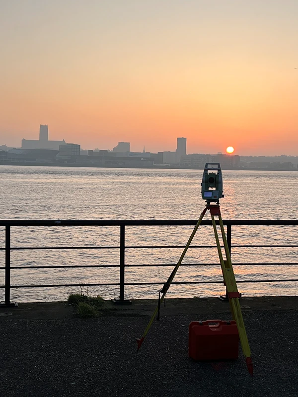
River Surveys
We undertake river and hydrographic surveys for bridges, culverts, flood defences, and environmental studies. Our work includes bank profiles, cross-sections, and water-level data, all captured with safety and accuracy in mind. This data is critical for the design, maintenance, and monitoring of river-based assets and infrastructure.
Contact Us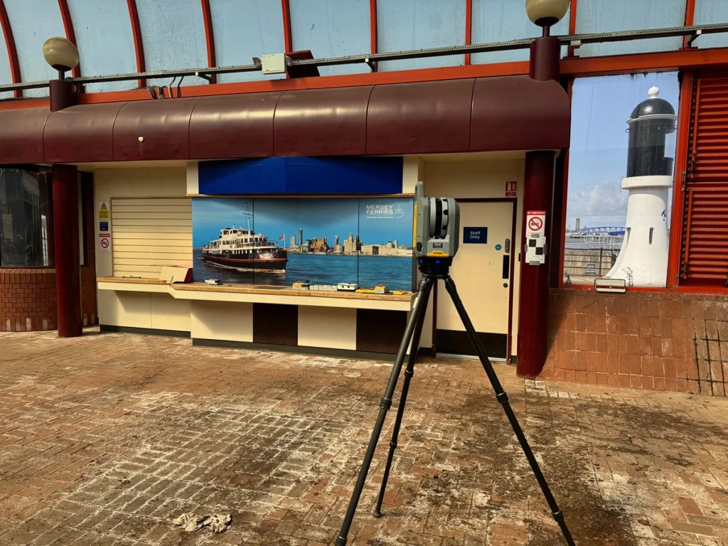
Measured Building Surveys
We carry out internal and external measured building surveys tailored to client requirements. Deliverables include 2D floor plans, elevations, roof plans, sections, and BIM-ready 3D models. Whether supporting refurbishment, redevelopment, or asset management, our building surveys provide the clarity needed for effective planning and design.
Contact Us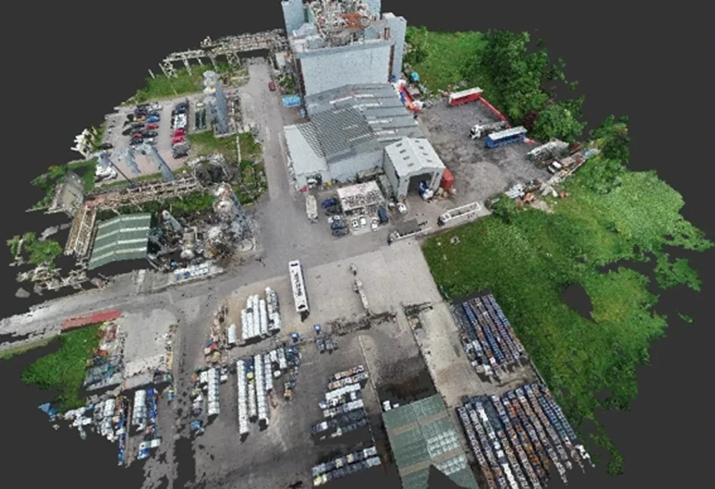
UAV (Drone) Surveys
Our UAV surveys provide rapid, cost-effective capture of large or hard-to-reach sites. Using high-resolution aerial imagery, we produce orthomosaics, terrain models, volumetric calculations, and progress monitoring datasets. UAV surveys help deliver fast results without compromising on accuracy.
Contact UsLet's Survey Together
Request a quote today for accurate, trusted survey data that supports better decisions. With a proven track record on projects of every scale, CMS Surveys is your partner for safe, efficient, and compliant land and underground surveying nationwide.
Let’s Get Started