Precision
Land & Underground
Surveying Services
At CMS Surveys, we deliver accurate, reliable land and utility survey data that drives confident decision-making across major infrastructure, construction, and regeneration projects.
About CMS Surveys
Founded by Managing Director Calvin Scouler in 2016, CMS Surveys has grown into one of the UK’s leading independent survey companies. We combine technical expertise with the latest technology to deliver cost-effective results without compromise. Our work spans everything from high-profile regeneration and infrastructure schemes to industrial, commercial, and residential projects - always underpinned by accuracy, efficiency, and trust.
Learn More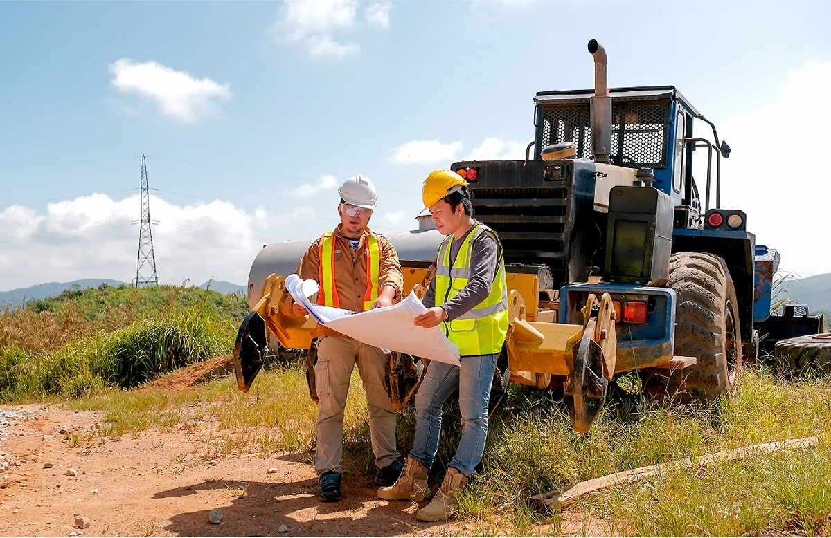
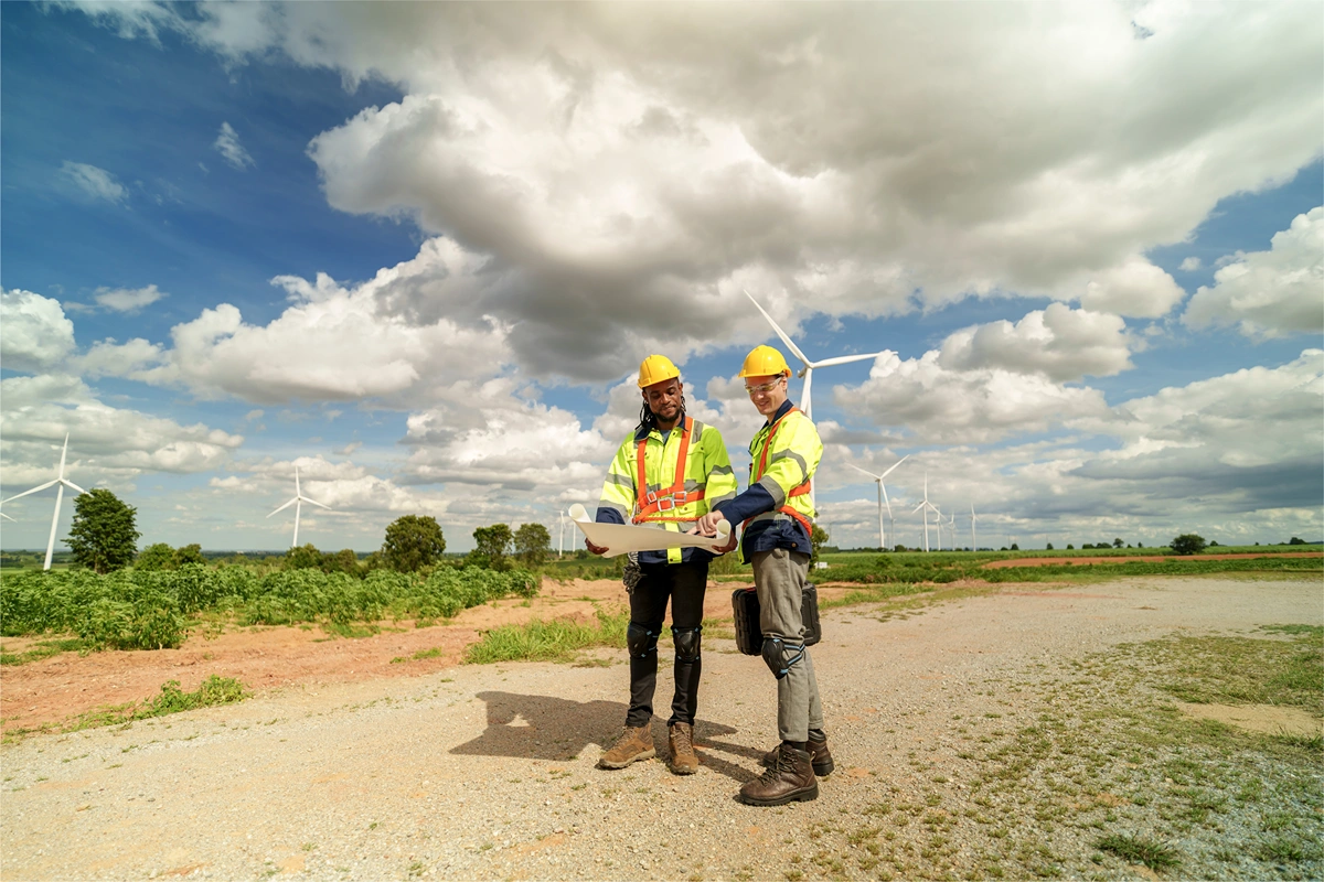
Explore Projects We’ve Worked On
Our portfolio includes landmark regeneration, infrastructure, and industrial projects across the UK. From river crossings and transport hubs to manufacturing facilities and major redevelopment schemes, we deliver the survey data that underpins critical design and construction decisions.
View All ProjectsExcellent Experiences Shared by Our Clients
Our Services

Utility Surveys
Established by our Managing Director Calvin Scouler in late 2016, CMS Surveys Limited has rapidly grown into one of the UKs leading surveying companies.

Utility Surveys
PAS128-compliant detection, verification, and mapping using GPR and electromagnetic technology, with vacuum excavation where required. Deliverables prepared in CAD/BIM to reduce risk and keep projects safe.
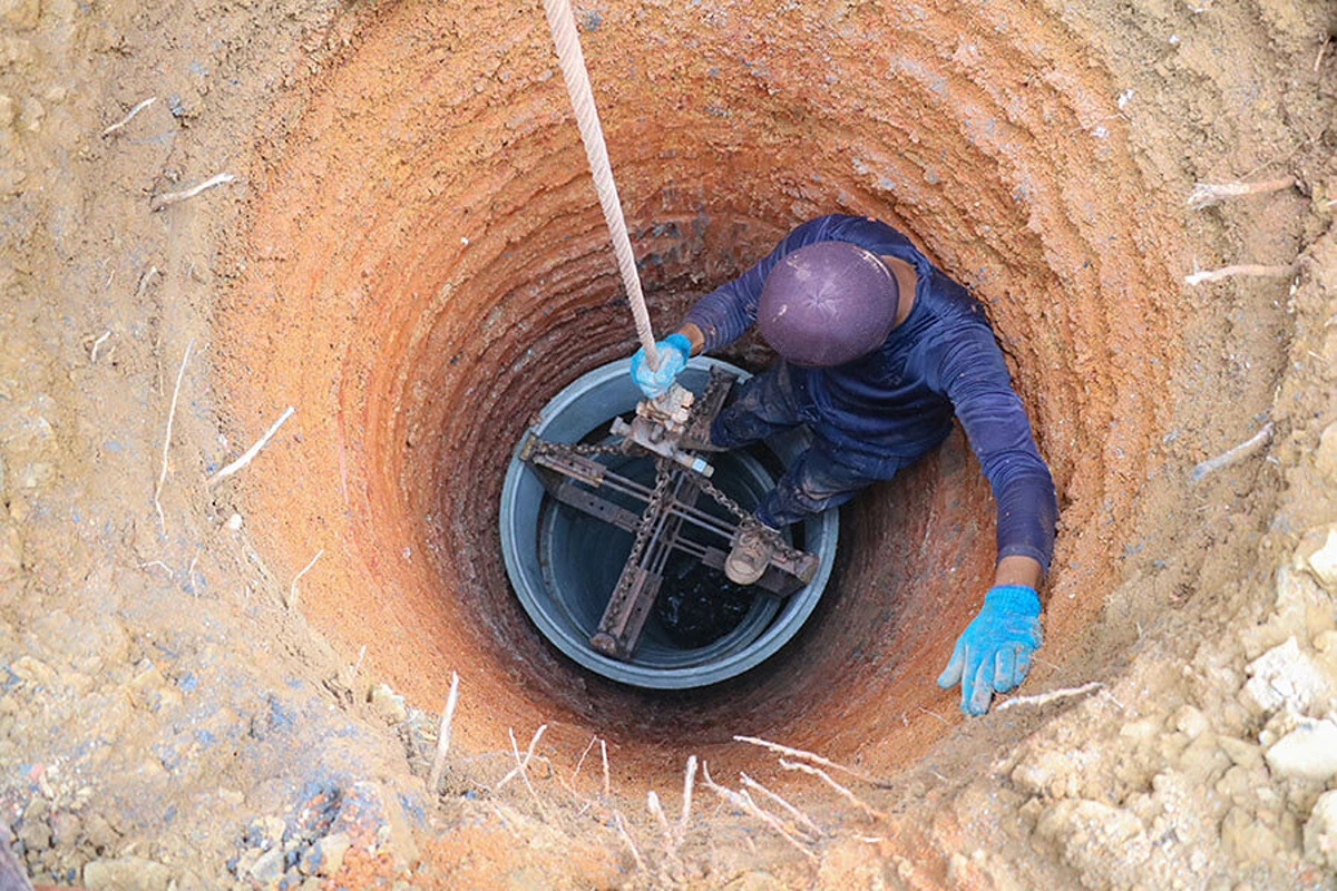
Borehole Clearing Surveys
Pre-drill clearance for boreholes and trial pits, with utility avoidance mapping to keep investigations safe and compliant
CCTV Drainage Surveys
Condition and connectivity surveys with coded reports and actionable recommendations to support maintenance or remedial works.
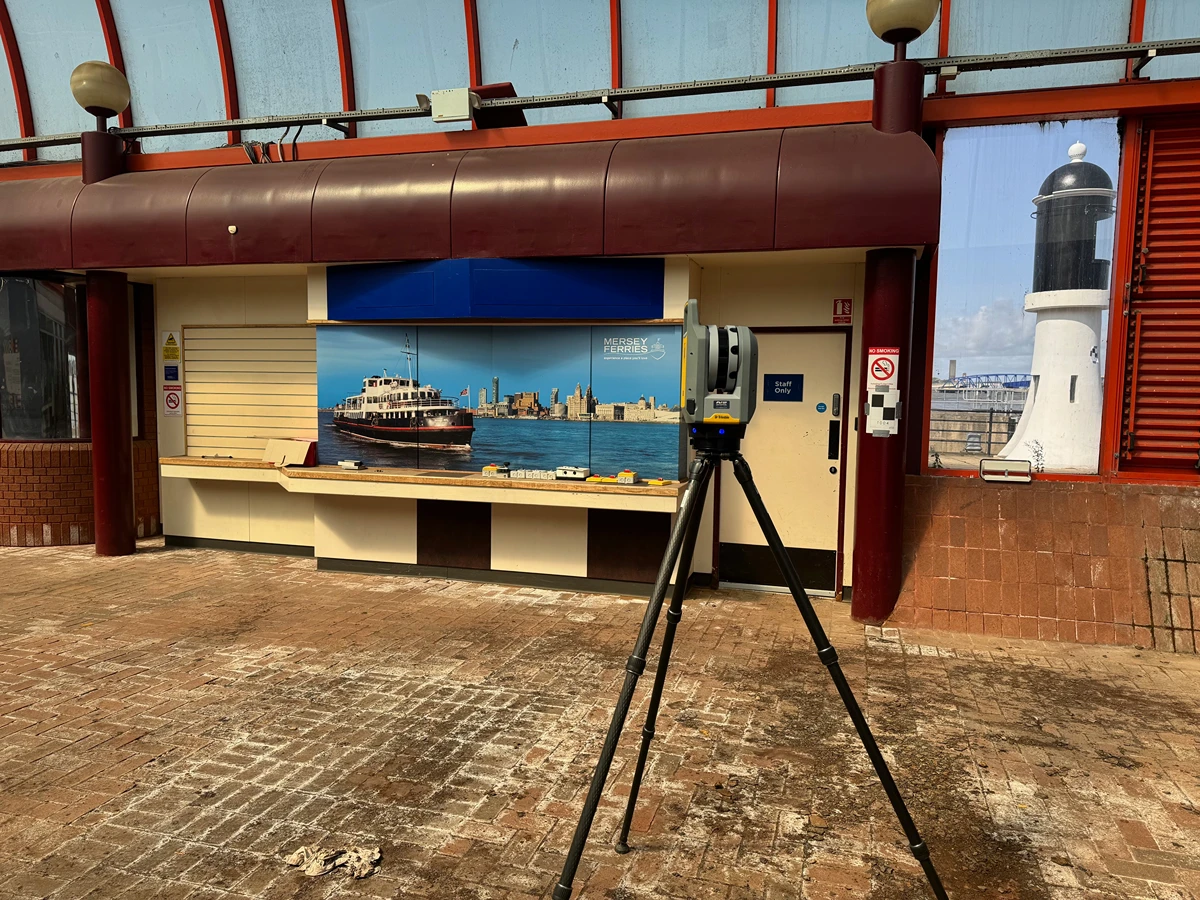
Land Surveys
Boundary, engineering, and control surveys delivered to exacting standards, supporting design, earthworks, and construction phases.
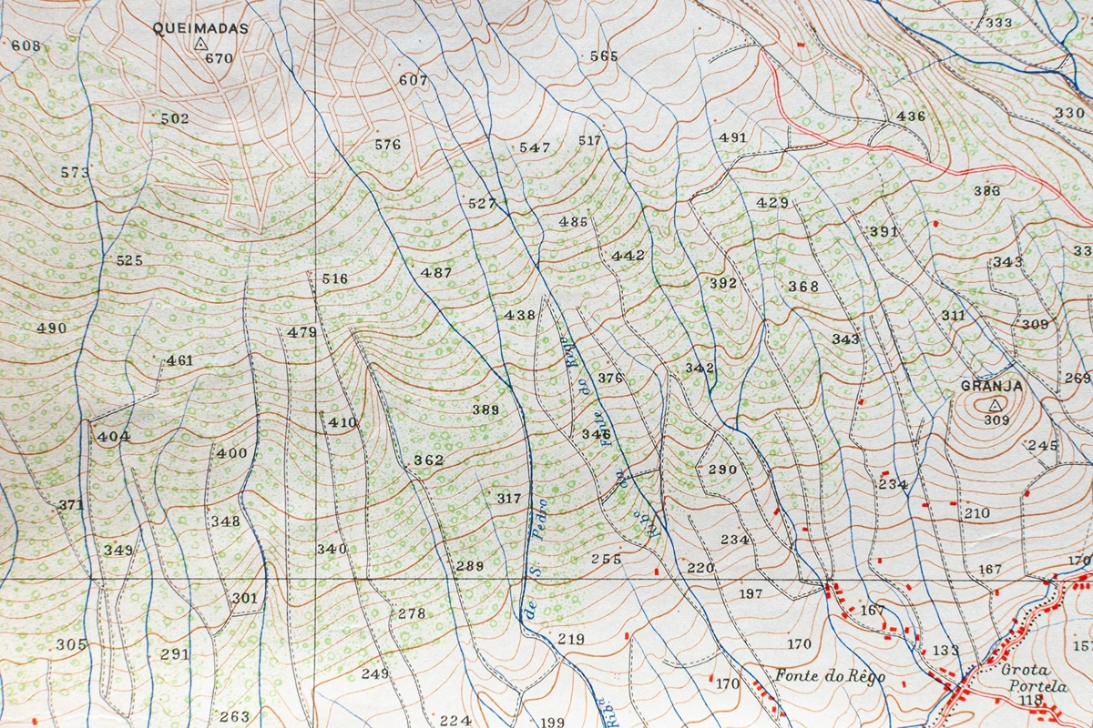
Topographical Surveys
Detailed 2D/3D mapping with levels, contours, and features — referenced to OS Grid & Datum for seamless integration.
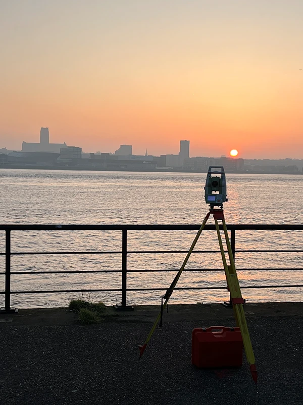
River Surveys
Accurate hydrographic data, cross-sections, and bank profiles for bridges, culverts, and flood defence projects.
Measured Building Surveys
Internal/external floorplans, elevations, and BIM-ready 3D models for refurbishment, redevelopment, and asset management.

UAV Surveys
Fast, safe aerial capture of large or inaccessible sites, producing high-resolution orthomosaics, terrain models, and volumetric data.

Let's Survey Together
Request a quote today for accurate, trusted survey data that supports better decisions. With a proven track record on projects of every scale, CMS Surveys is your partner for land and underground surveying nationwide.
Let’s Get Started